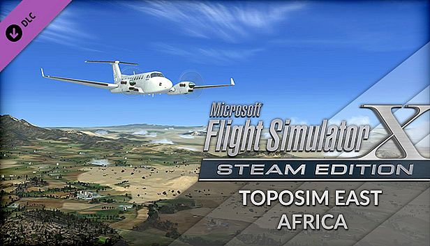
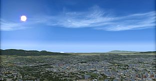
FSX Steam Edition: Toposim East Africa Add-On upgrades the default terrain mesh across Eastern Africa with LOD 11 and 19m multi-LOD precision. This simulation enhancement reshapes lakes, mountains, and ground contours for accurate landscape profiles in countries like Eritrea, Ethiopia, Djibouti, Somalia, Kenya, Uganda, Mozambique, Tanzania, Malawi, Zambia, Zimbabwe, Madagascar, the Comoros, Mauritania, Mauritius, and Seychelles. Pilots gain realistic VFR flying conditions without added textures.
Flight simulation enthusiasts who prioritize terrain fidelity find this add-on delivers precise elevation data for the entire region on PC. It sharpens default meshes into detailed undulations that match real-world geography. Serious sim flyers benefit from the improved lay of the land.
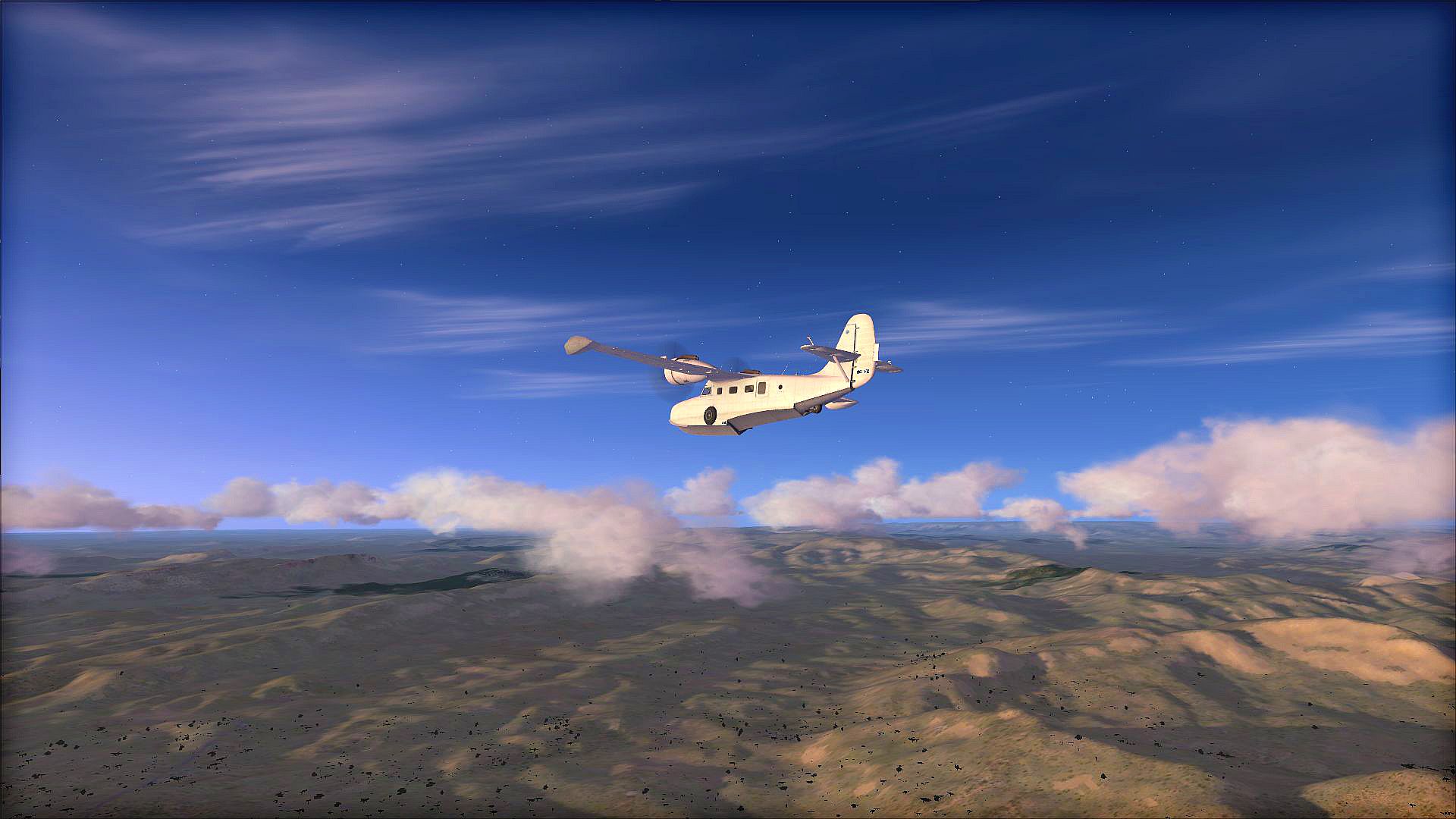
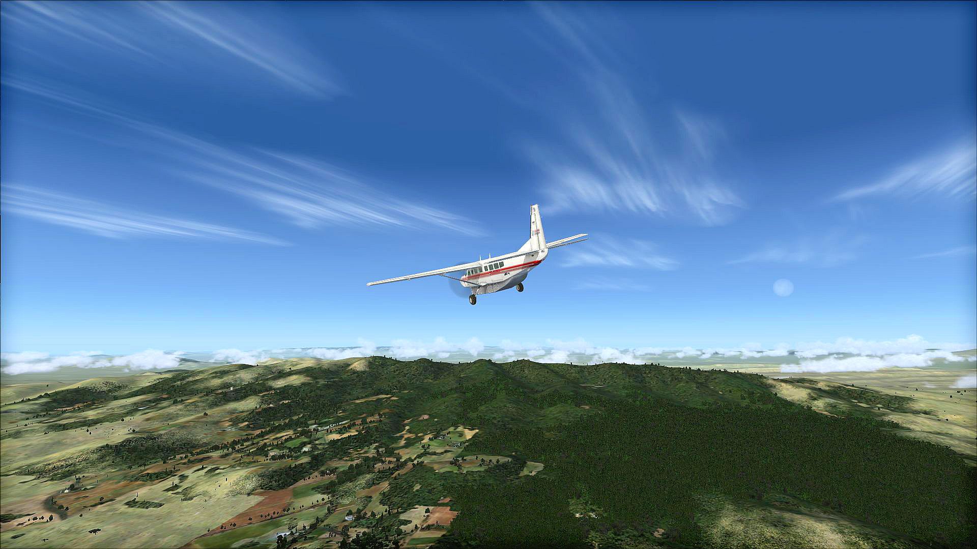
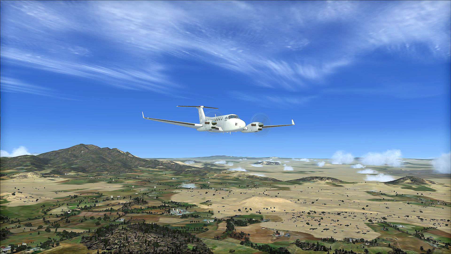
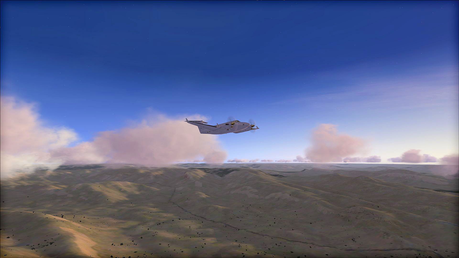
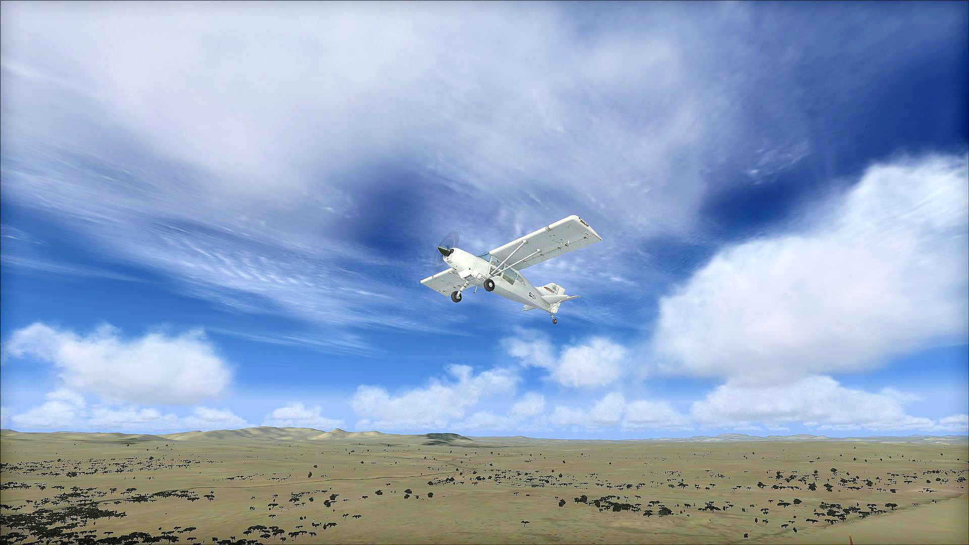
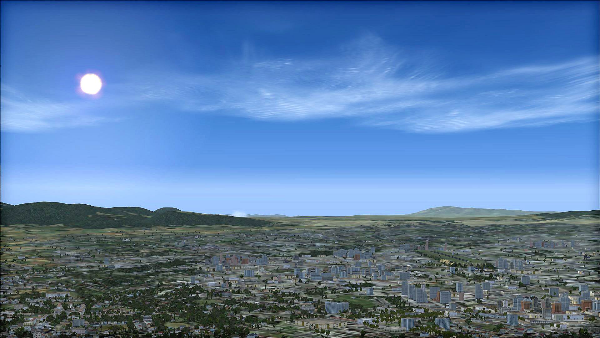
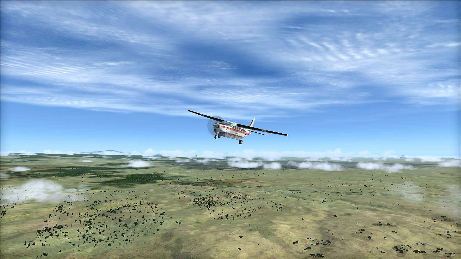
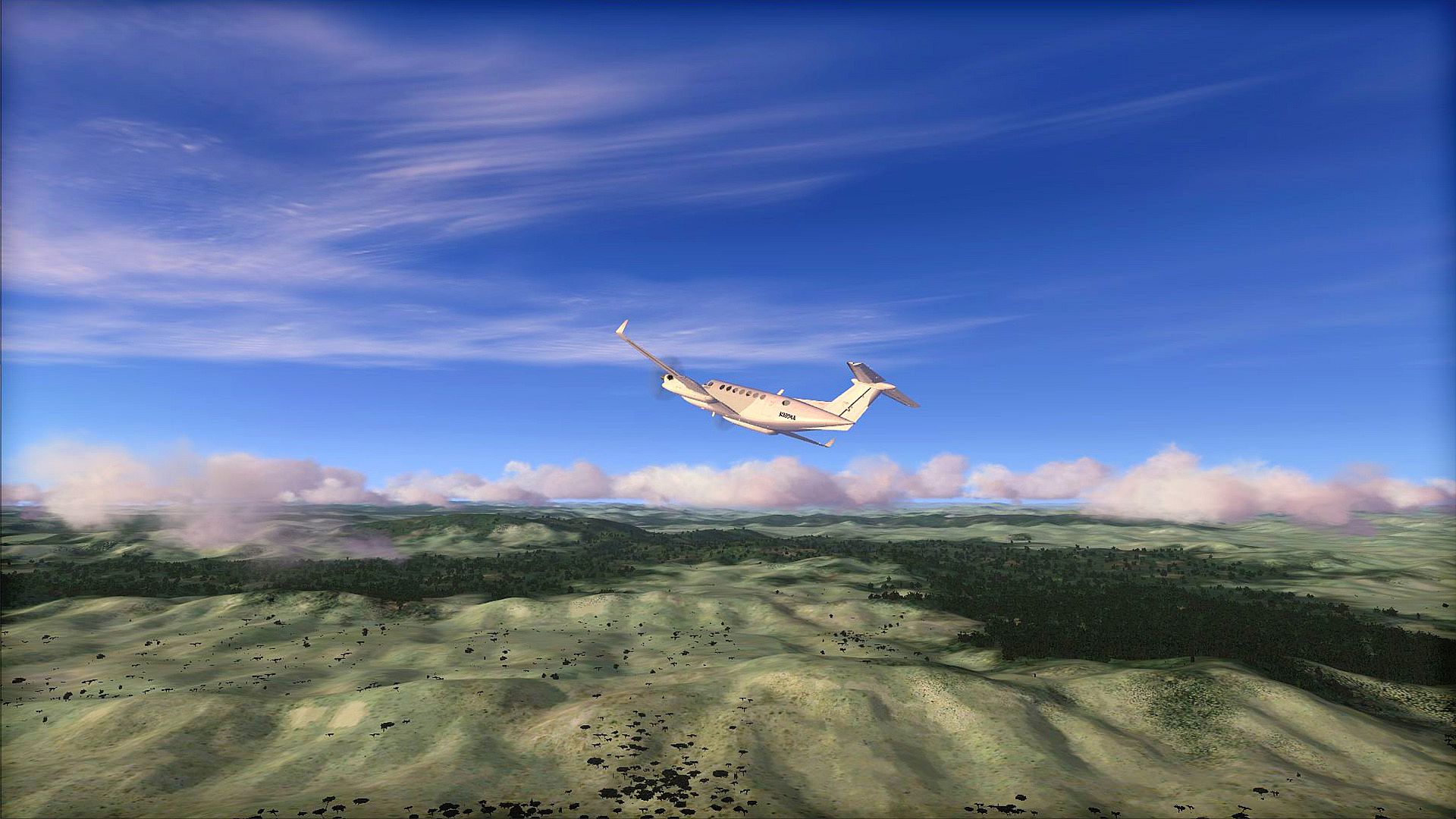
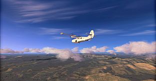
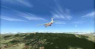
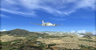
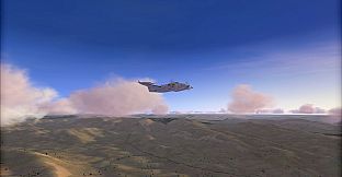
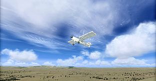
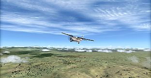
Toposim East Africa for FSX: Steam Edition provides LOD 11 / 19m Multi-LOD terrain mesh for the whole Eastern African region, improving the accuracy of the default terrain mesh and offering a marked improvement to the landscape profile.
VFR flying over Africa has never been more realistic with lakes, mountains and ground undulations all where they should be.
Please note this pack corrects the default terrain mesh and does not include any textures.
This pack includes terrain mesh for the following countries:
- Eritrea
- Ethiopia
- Djibouti
- Somalia
- Kenya
- Uganda
- Mozambique
- Tanzania
- Malawi
- Zambia
- Zimbabwe
- Madagascar
- The Comoros
- Mauritania
- Mauritius
- Seychelles