

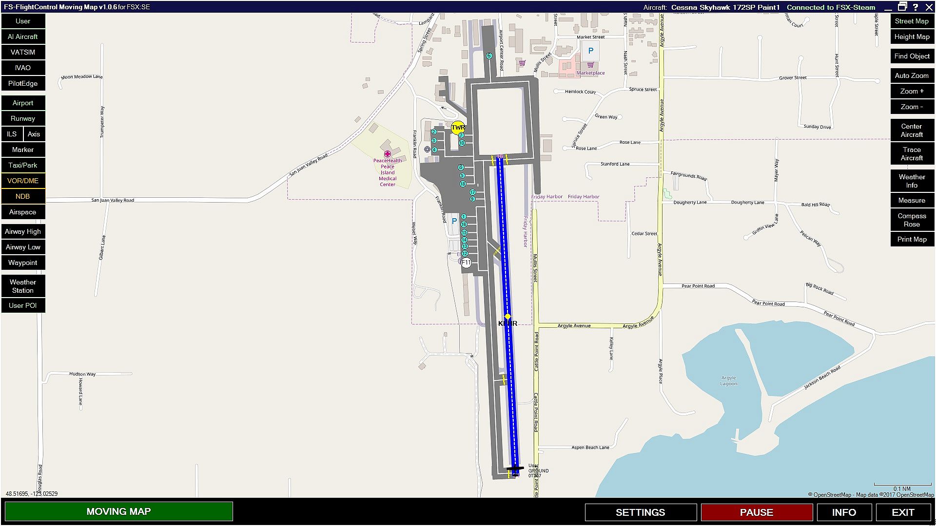

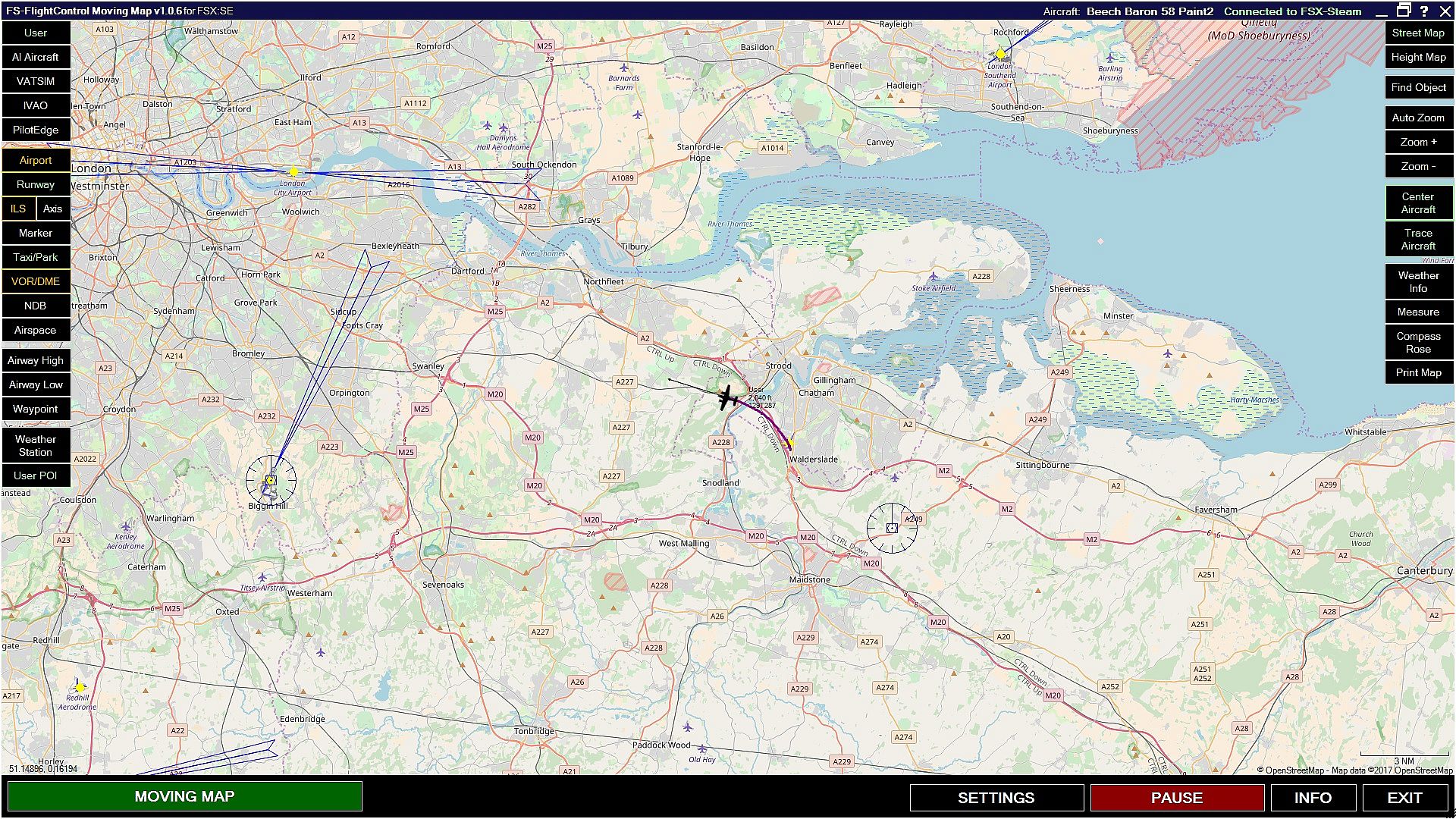

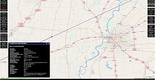
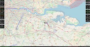
Take control of your world with Moving Map! Developed by FS-FlightControl, Moving Map gives you a better handle on the big picture: it will follow your aircraft regardless of where it is in the sim, and will provides you with detailed information on airport layouts, navaids, and more.
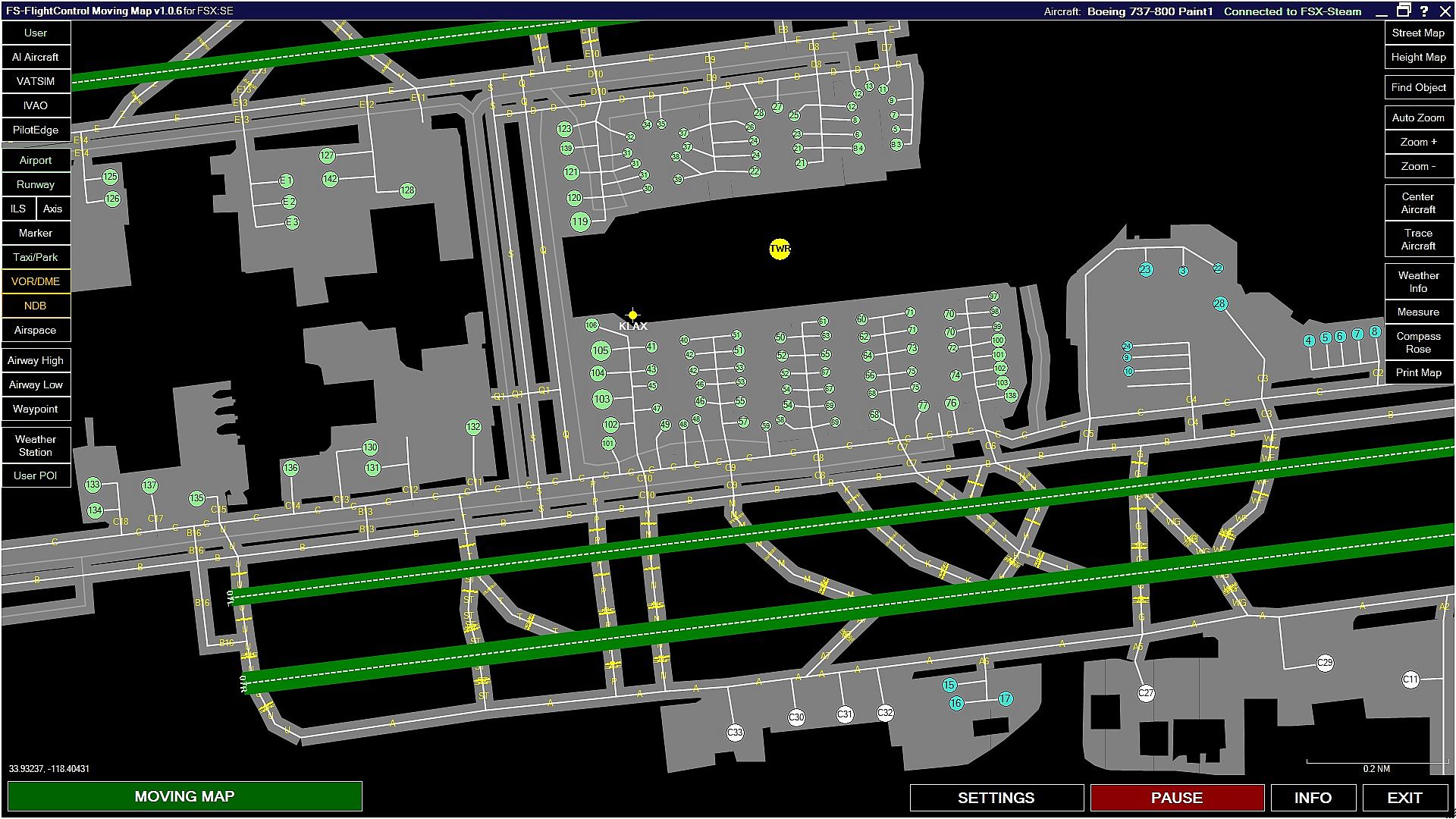
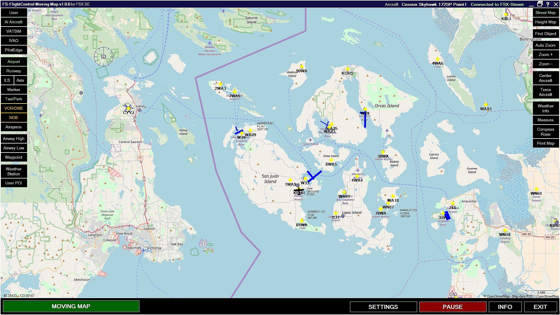
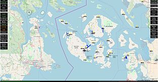
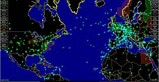
The toggleable information includes but is not limited to: airports, runways, ILS visualizations, markers, taxiways, parking spots, VORs/DMEs, NDBs, as well as view the surrounding airspace. You can also bring up high and low airways, waypoints, weather stations, and even create your own points of interest!
Once installed and downloaded, Moving Maps will launch automatically once you open Microsoft Flight Simulator X: Steam Edition.
Features:
Available information includes:
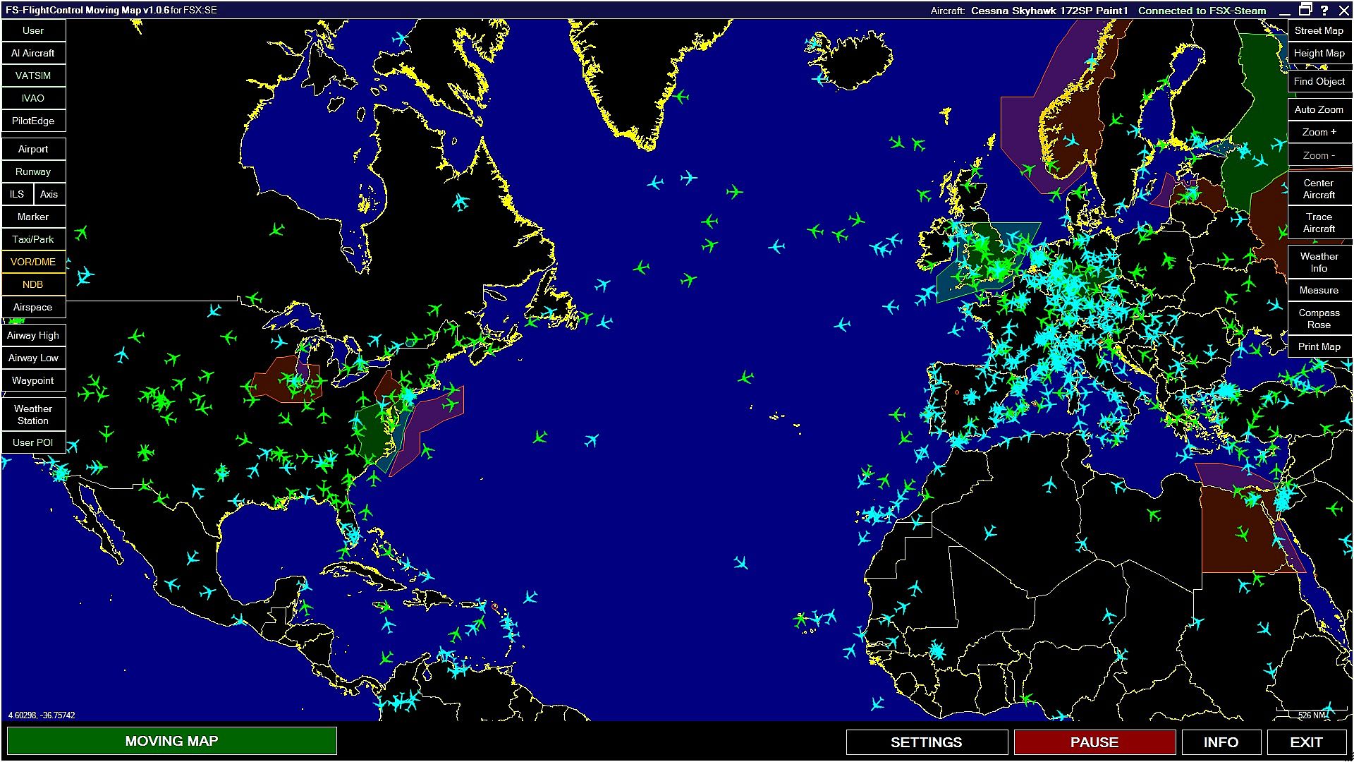
- Core and AI aircraft
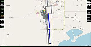
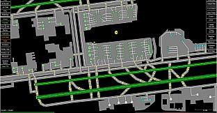
- Airports and runways
- Taxiways and parking positions
- ILS beams and axes
- Navaids including VORs, NDBs, and markers
- Airways (high and low) and waypoints
Additional functionality:
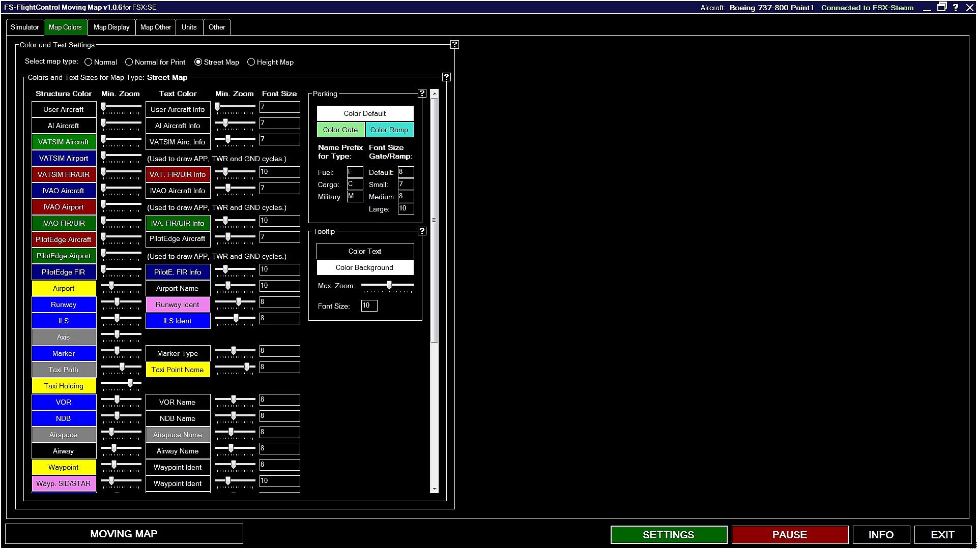
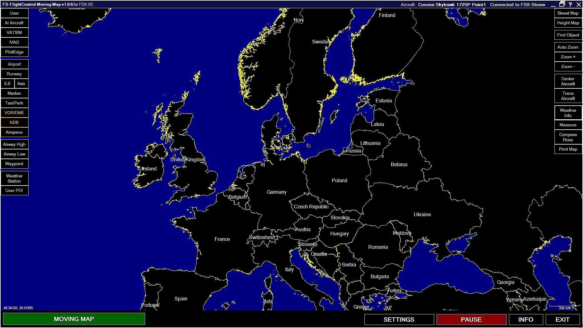
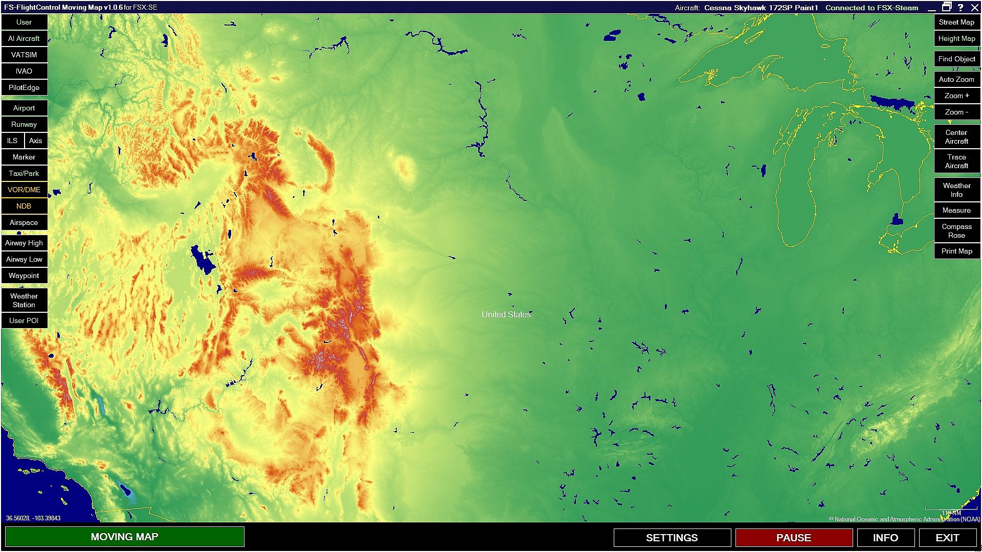
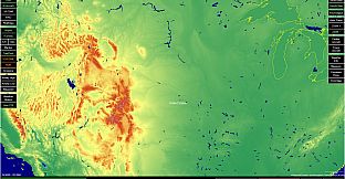
- Choose your map type: street or height map
- The ability to zoom in and out
- Center or trace your aircraft
A detailed manual is also included and can be accessed via the ‘?’ within the tool. Please note you will need to be connected to the internet to access this feature.