




CityExplorer is a simulation game focused on drone-based exploration of photorealistic 3D urban environments. Players navigate recreated cityscapes drawn from real-world mapping data, with systems that pull live weather conditions and solar positions to match actual locations at any given moment. The experience centers on free flight over detailed streets, buildings, and landmarks, supported by search tools for instant relocation and markers highlighting points of interest such as restaurants, tourist sites, and public facilities.
Gameplay
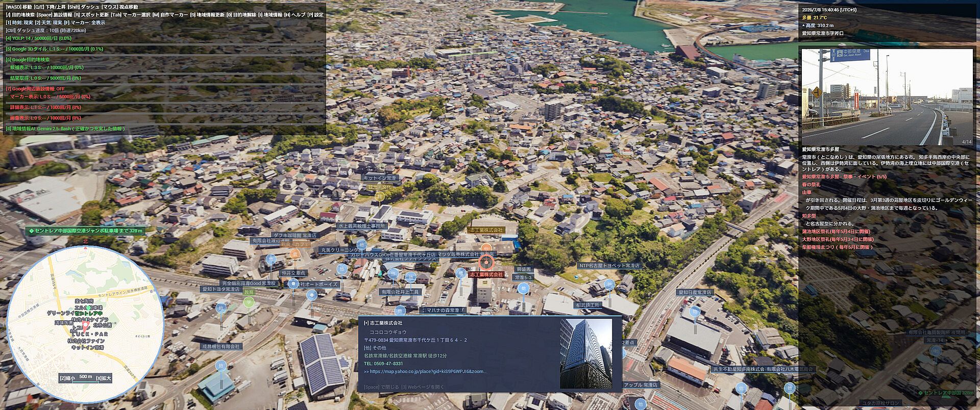
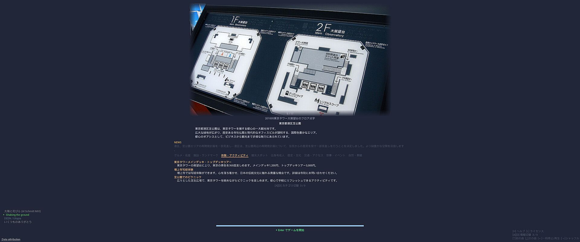
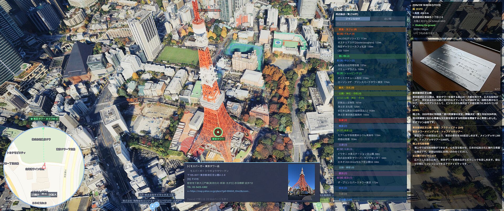
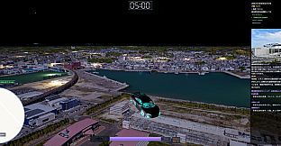
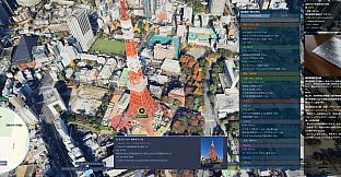
The core loop involves piloting a drone through expansive city models at varying altitudes, adjusting speed and angle to survey layouts from above. Real-time day and night cycles shift lighting naturally, while weather effects like rain alter visibility and atmosphere based on current external data feeds. Search functionality lets users input city names or specific spots for direct teleportation, bypassing manual travel time. Altitude adjustments reveal different perspectives, from street-level details to broad overviews of terrain and infrastructure. Information panels appear during transitions, delivering region-specific details generated through AI processing of available geographic and cultural data. Custom markers allow saving of notable viewpoints for later return visits, and spacebar activation on selected points opens additional details including linked external references where available.
Game Modes
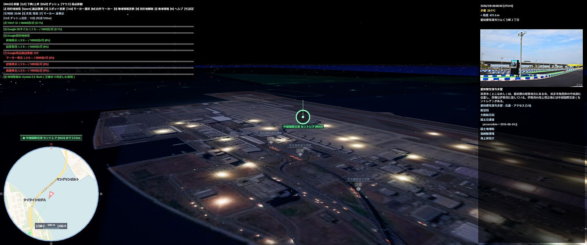
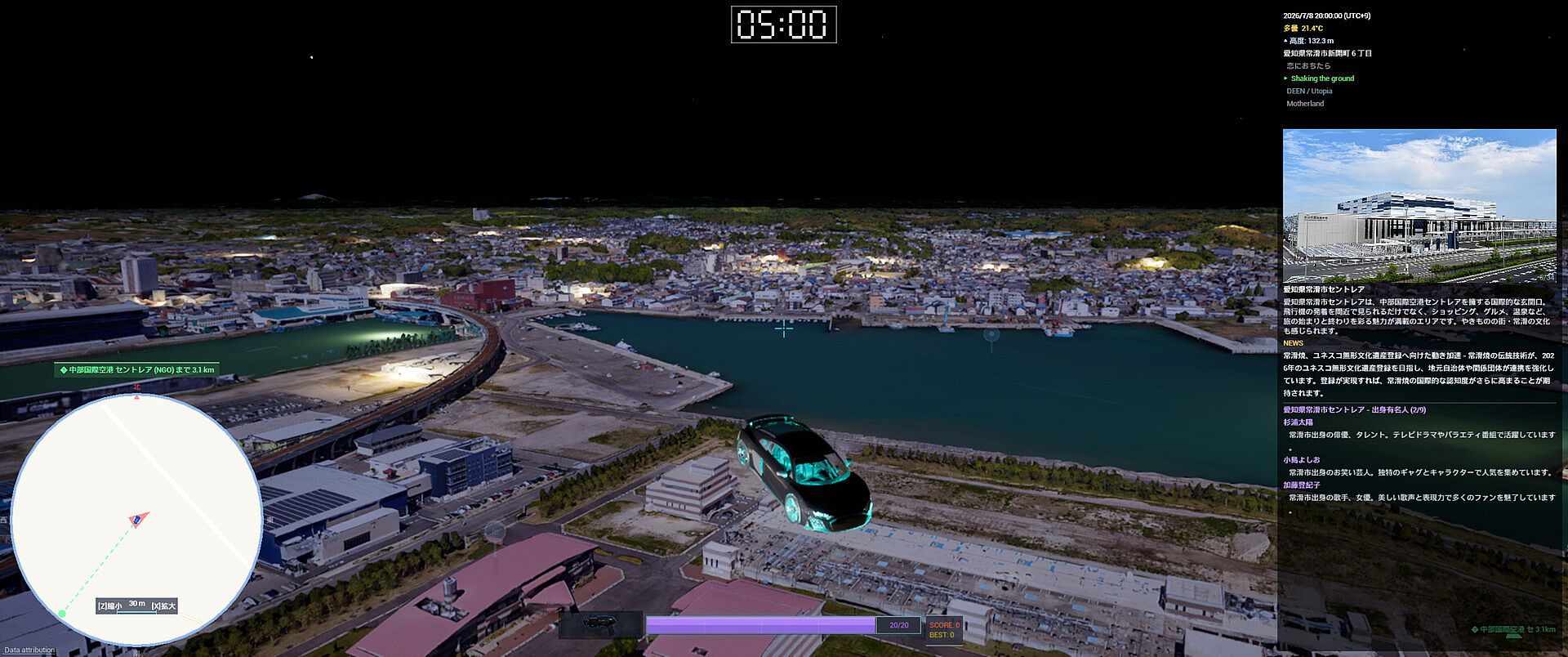
Virtual travel and sightseeing form the primary mode, emphasizing open-ended flight across global cities with support for night views and rain conditions to capture varied atmospheres. Photo mode provides dedicated controls for environment adjustments, enabling precise timing and weather setups before capturing screenshots of scenes such as illuminated commercial districts or coastal edges. Hidden mode activates through specific command inputs, altering the standard exploration flow into an alternative interaction style. Practical application modes extend the simulator beyond entertainment, including pre-travel scouting with 3D previews and favorites lists for organizing destinations, educational geography tools displaying real-time altitude and coordinate data alongside terrain variety, location scouting features for testing lighting and compositions, real estate neighborhood overviews with amenity markers, and reference tools for urban modeling that highlight building density and road patterns.
Practical Applications
Beyond recreational flight, the simulator supports structured uses through integrated tools. Users build custom lists of locations for comparison or planning, while POI markers streamline identification of nearby amenities like stations and parks. Real-time data overlays provide context on elevation, addresses, and coordinates during exploration. AI elements generate insights on local specialties and events, displayed in loading sequences or panels. These features integrate with the same flight mechanics, allowing seamless shifts between casual sightseeing and targeted research without separate interfaces.
Is It Worth Playing?
CityExplorer suits individuals seeking a single-player simulation for virtual city navigation, travel preparation, or educational review of urban geography. Its systems deliver consistent real-time environmental accuracy and detailed 3D models across supported locations, with controls focused on smooth drone movement and marker management. The game remains in a pre-release state with no user reviews available, so expectations should align with its described focus on exploration and utility rather than competitive or narrative elements. Those interested in photorealistic aerial views, customizable viewpoints, and data-driven location tools will find direct value in its mechanics, particularly when combined with external planning needs.