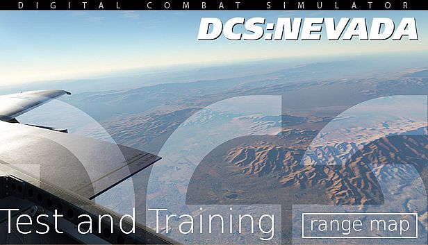


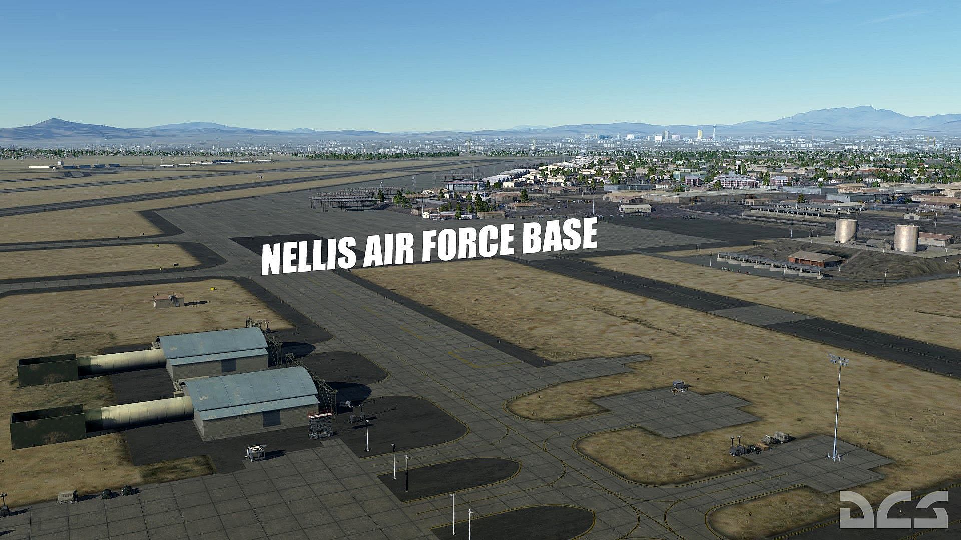
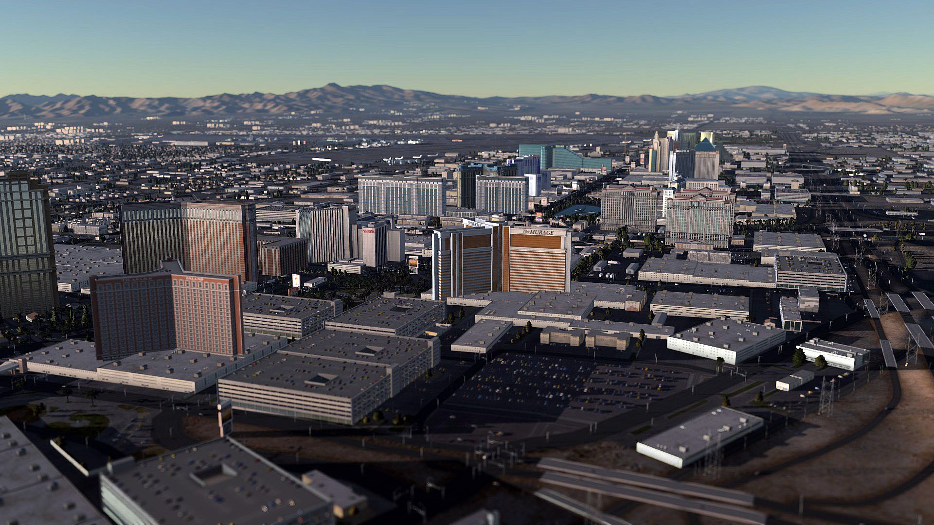
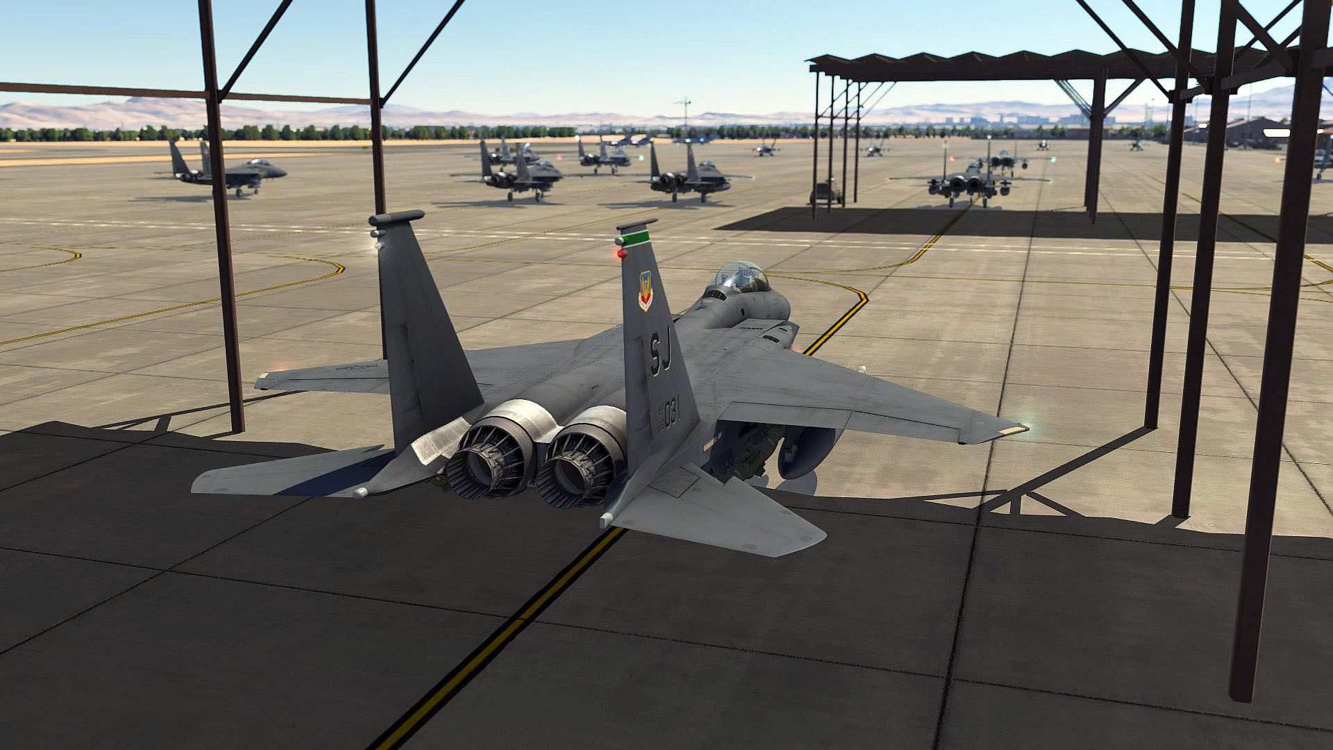

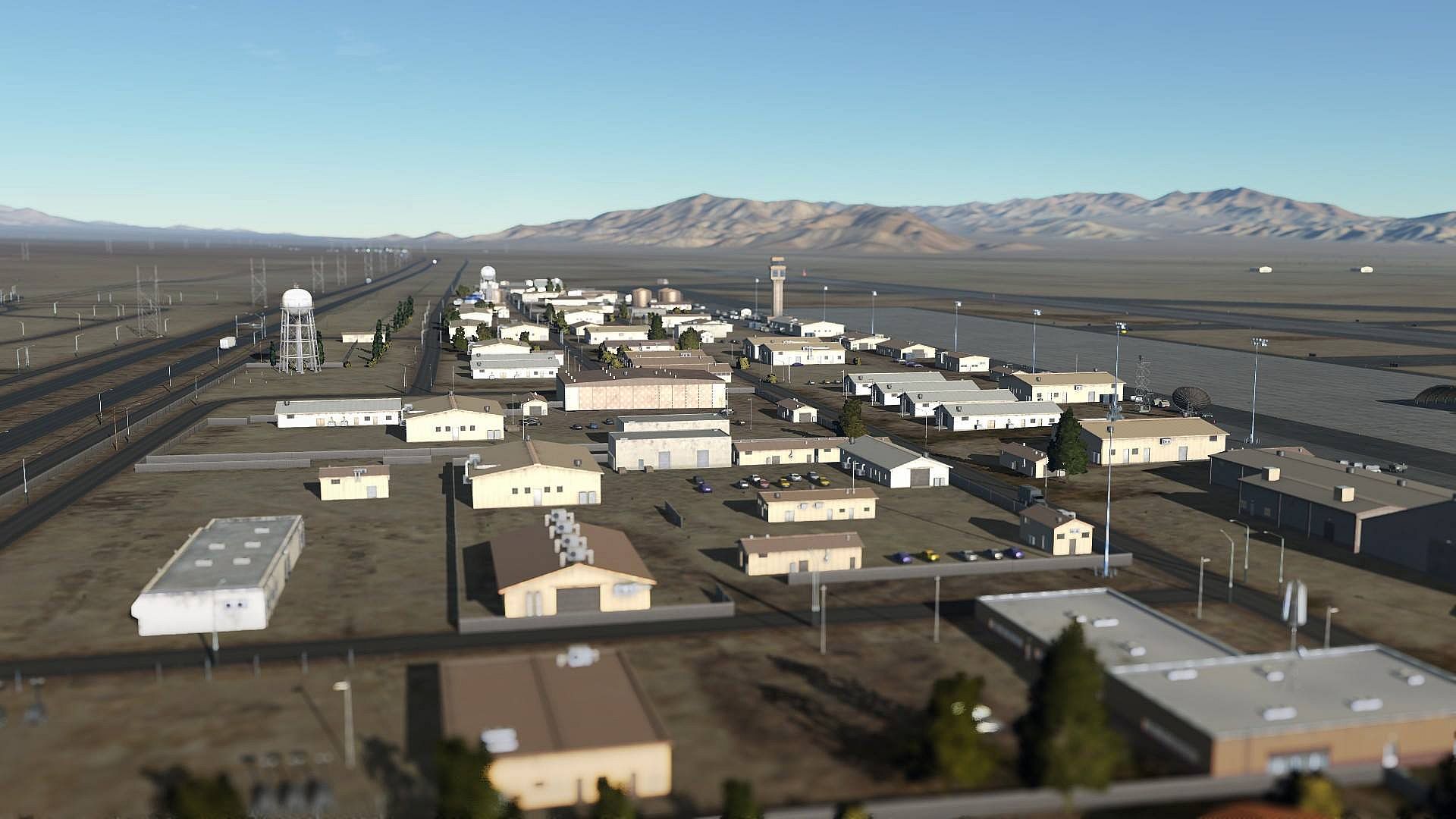
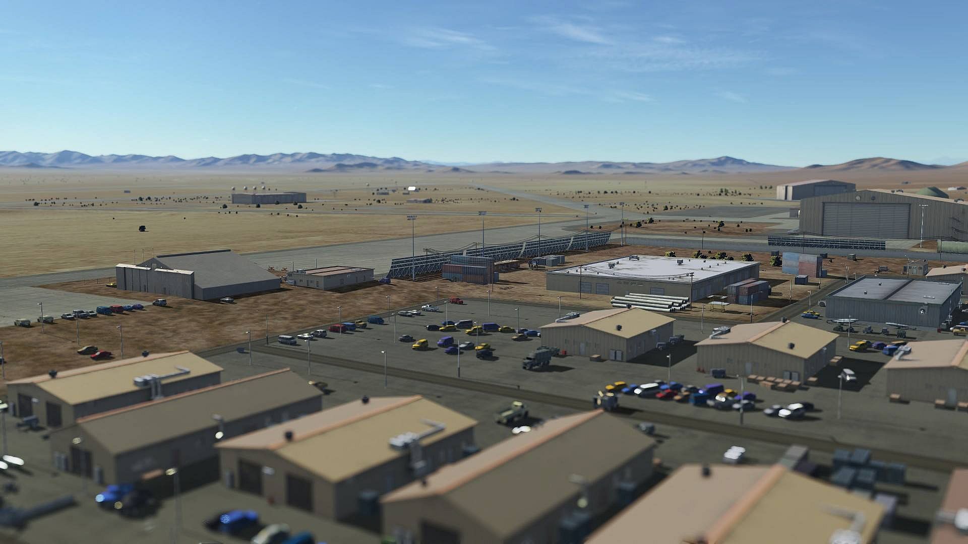
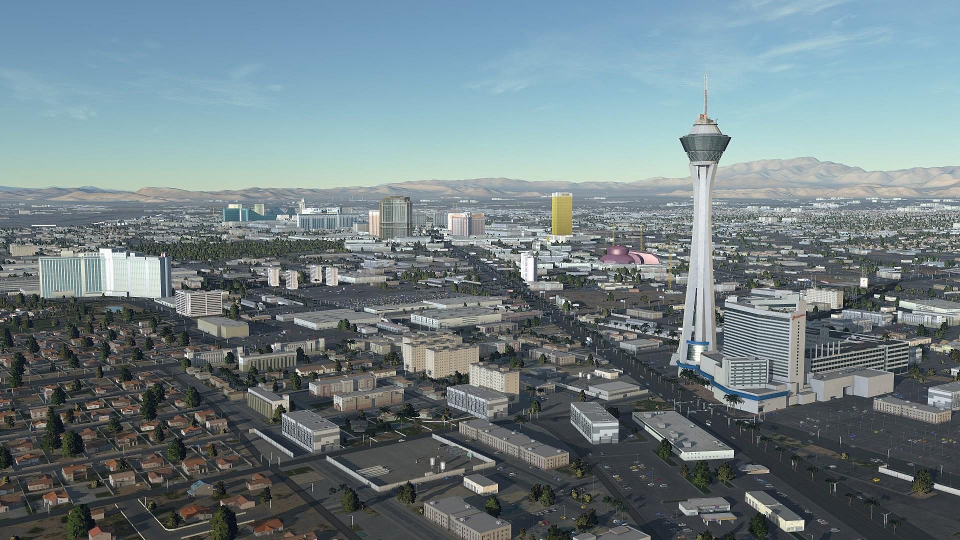
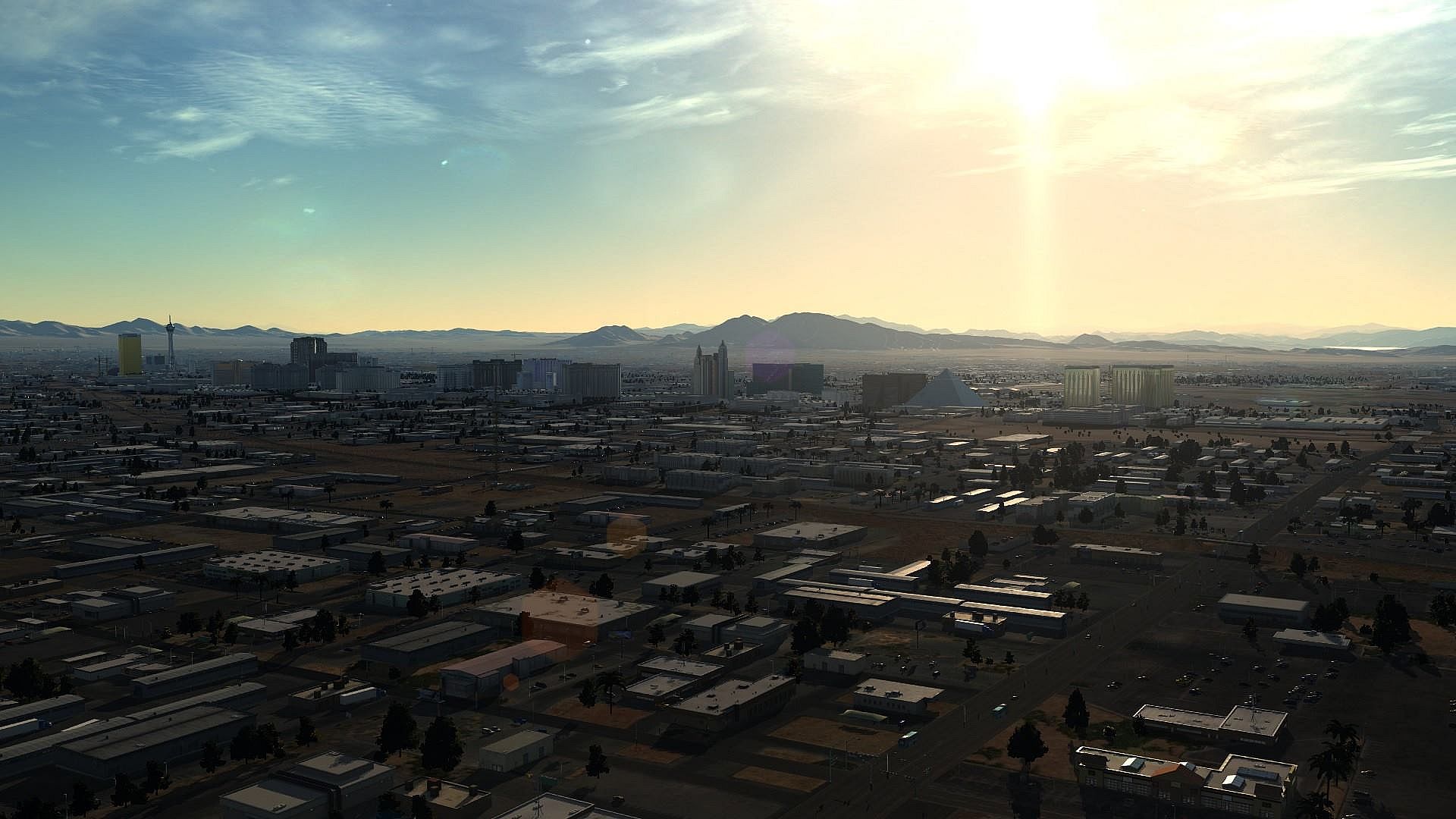
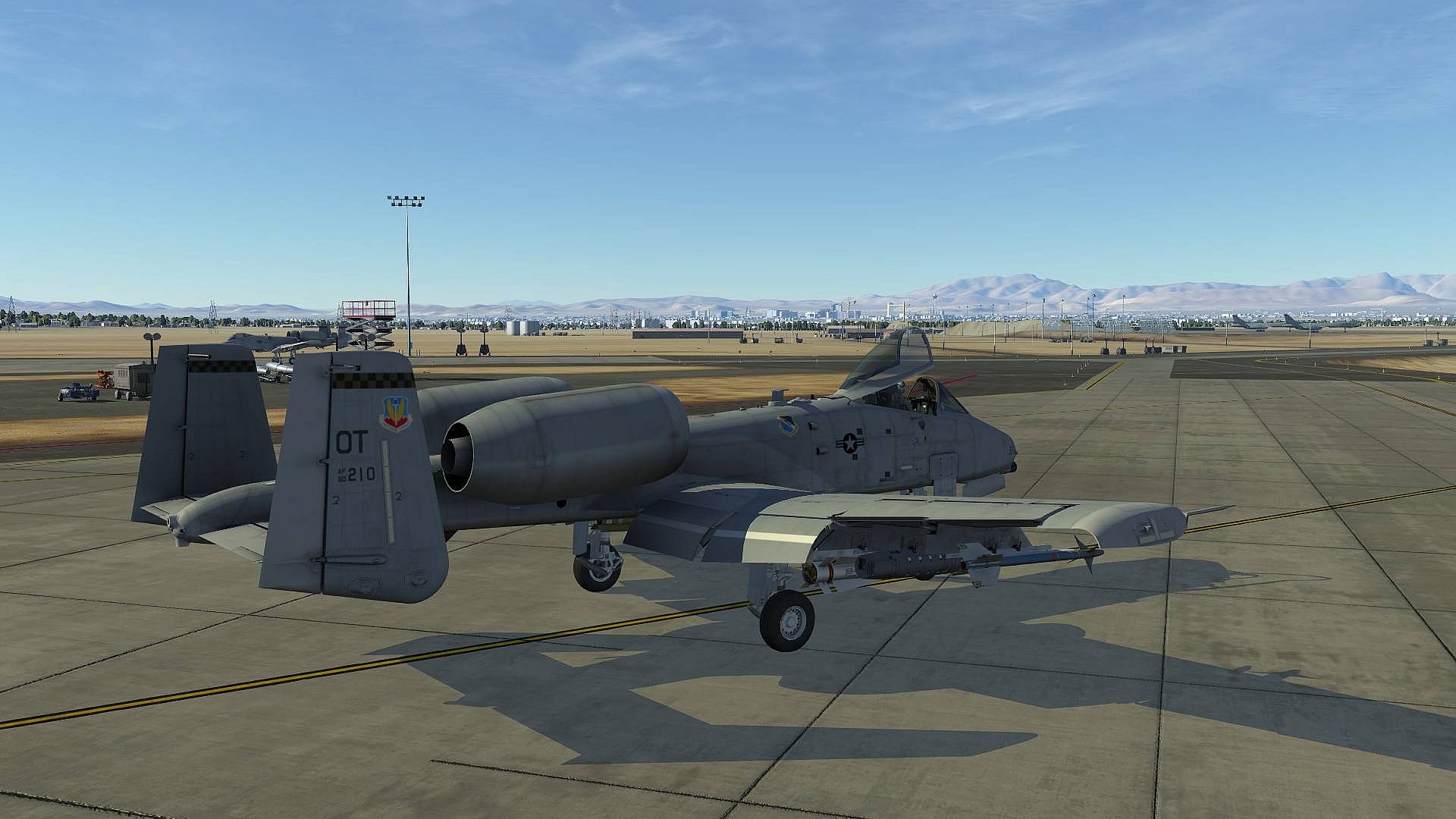
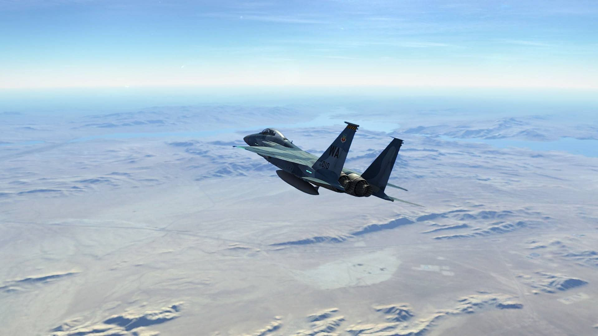
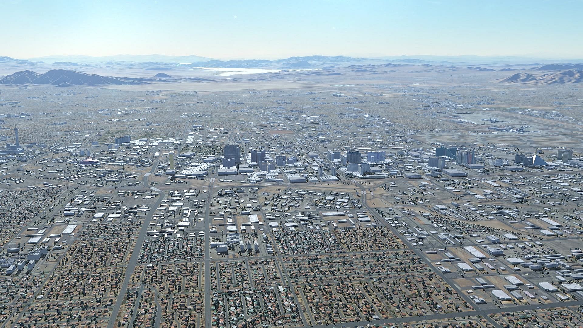
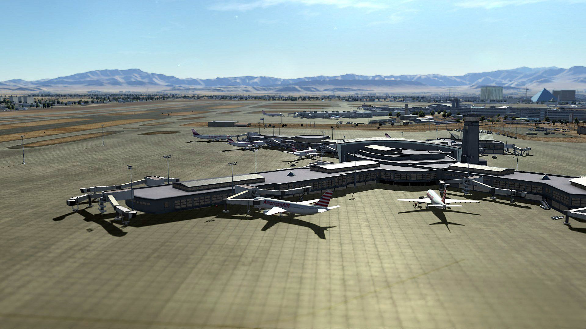

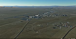
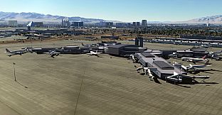
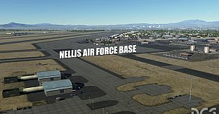
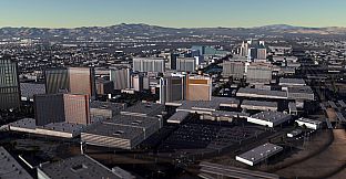
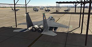
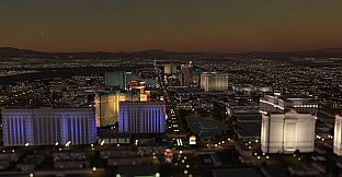
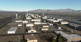
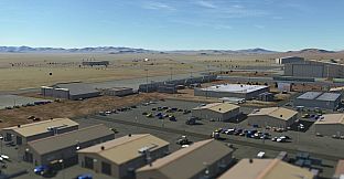
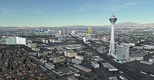
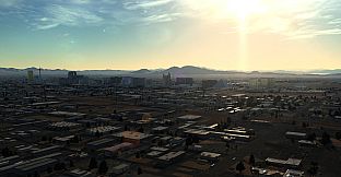
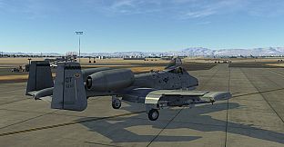
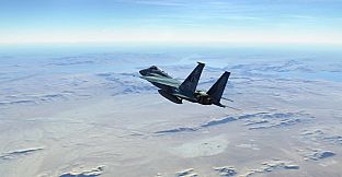
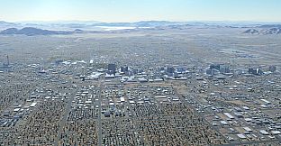
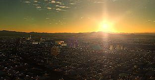
The Nevada Test and Training Range (NTTR) has the largest contiguous air and ground space available for peacetime military operations in the free world. The NTTR is home to RED FLAG and other military exercises that include countries from around the world. The NTTR map for DCS World 2 includes Nellis AFB, Creech AFB and the infamous Groom Lake AFB (aka Area 51) and many other military and airfields in the region. This map also includes the city of Las Vegas, McCarran International Airport, and Hoover Dam.
Key Features of DCS: NEVADA Test and Training Range Map:
- 366,000 sq. kilometres that covers portions of Nevada, Utah, Arizona and California.
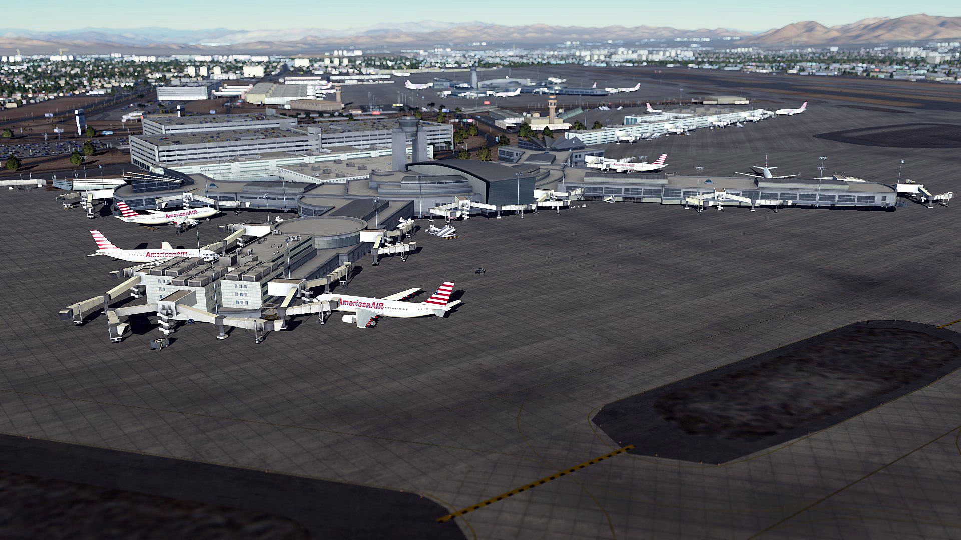
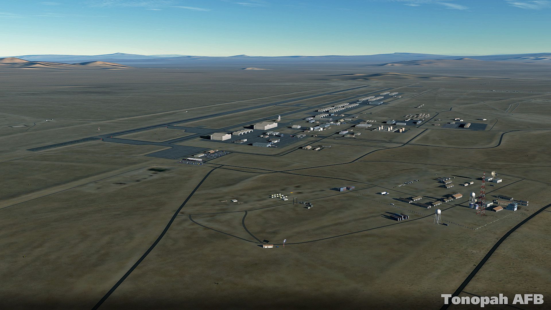
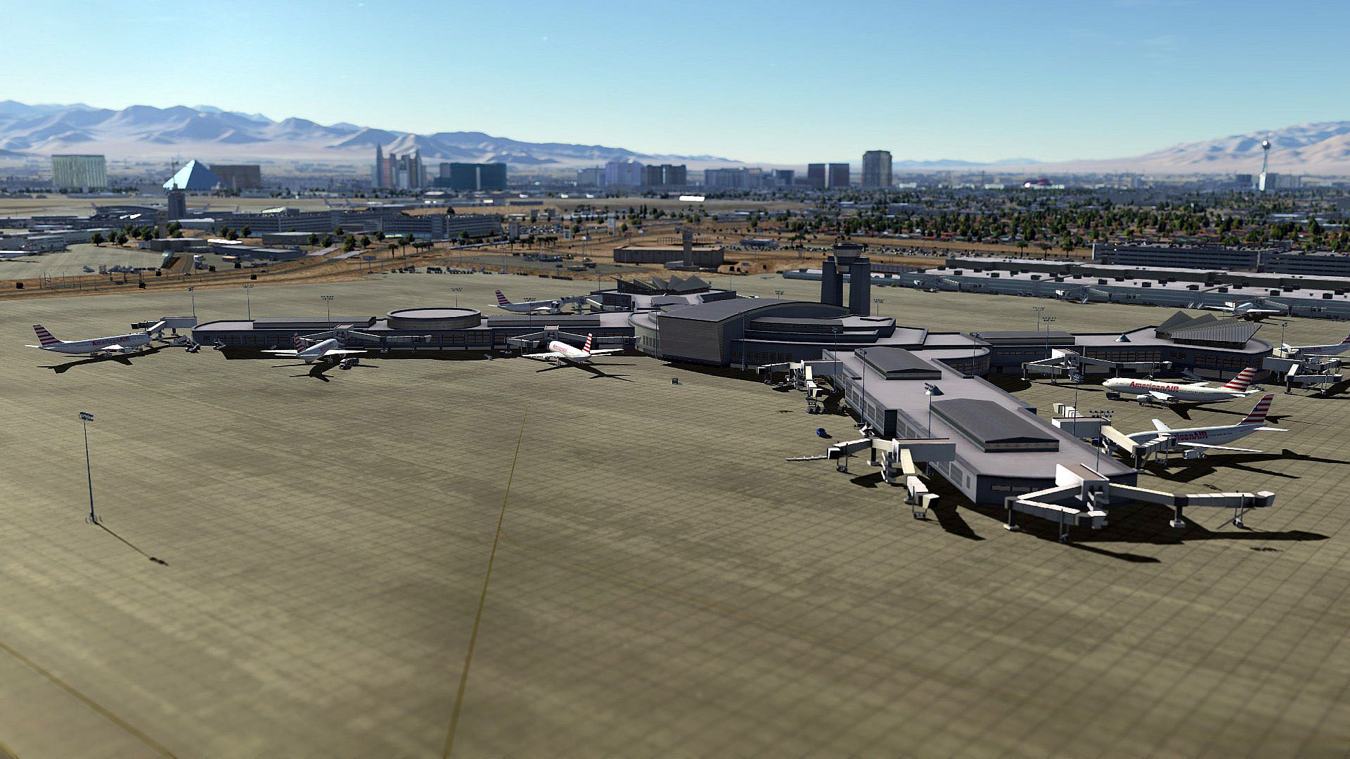
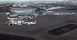
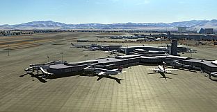
- Highly detailed modelling of Nellis Air Force Base, Creech Air Force Base, McCarran International Airport, and the Area 51 facility.
- Hoover Dam and Lake Meade.
- All VOR and VORTAC radio navigation beacons.
- High resolution mesh and textures around the detailed airbases.
- The entire NTTR airspace as well as indication of all sub-ranges.
- Las Vegas, Pahrump, Mesquite, Moapa, Indian Springs, Boulder City and other cities and towns in and nearby the NTTR. This also includes all major roads, railways, and power lines.